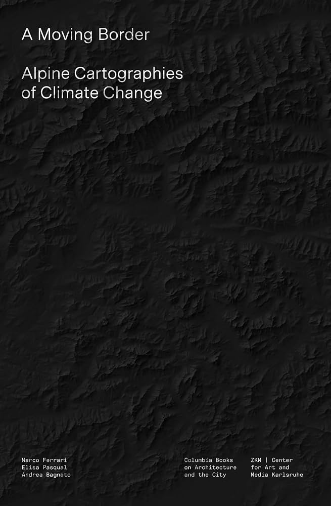
Book Review — A Moving Border: Alpine Cartographies of Climate Change
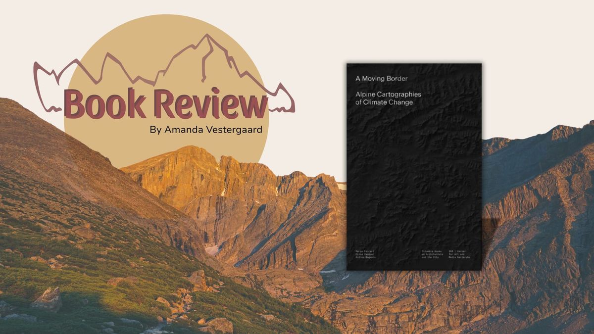
By: Amanda Vestergaard | Edited by Andrea Bagnato, Marco Ferrari, and Elisa Pasqual (Columbia University Press, 2018)
If national borders are mapped onto natural geographical boundaries, what happens when those boundaries begin to melt? Published in 2019, A Moving Border: Alpine Cartographies of Climate Change is a beautifully produced volume describing a remarkable geopolitical novelty: the 2005 agreement between Switzerland, Austria, and Italy to share a 'moving border' — such that their shared national boundary permanently coincides with the Alpine watershed line. As this watershed shifts because of glacial retreat and hydrological changes, so does the national border of these three countries.
The agreement hereby represents the first legal acknowledgement of the effect climate change has on state sovereignty and territorial control, and portrays the glacier as an independent political actor. By examining this forced departure from historical practices of boundary drawing and border maintenance, editors Marco Ferrari, Elisa Pasqual, and Andrea Bagnato use this striking case study to question preconceptions surrounding natural phenomena used in Western boundary-making, and to examine how climate change is challenging Western ideas surrounding nationhood and territory. The volume is anchored in the Italian Limes Project, which uses GPS sensors to render the moving border visible in real time. Archival maps, expedition journals, and past treaties are woven throughout, grounding abstract arguments in tangible historical moments.
A Moving Border is introduced with a brief history of how mountains have shaped state borders, as well as how the watershed line has played an integral role in representing one method of dividing control over water basins and rivers. The volume is then divided into three sections. The first, "The Cartographic Gaze," reframes the map as a political object rather than an objective tool, with Stuart Elden tracing how inter-state conflict drove cartographic advancement and how the apparently "natural" Alpine border obscures deeply constructed choices about territorial division. The second, "A Nation's Limits," explores how states have historically used natural phenomena to justify nationalist ambitions; Mia Fuller's examination of Italy's colonial and fascist past is a particularly revealing example. Finally, "The Life and Death of Glaciers," tackles the absurdity of measuring fluid landscapes with fixed lines, and Francesca Hughes memorably likens the obsession with precise cartographic measurement to Beckett’s Molloy endlessly redistributing sixteen "sucking stones" between his pockets in a pointless mathematical puzzle.
As our world grapples with the accelerating consequences of climate change on present-day geopolitics, this volume reminds us that Western concepts of nationhood partly depend on the idea of "a stable planet" — one in which natural phenomena appear reliably objective and unchangeable. By situating climate change within the history of cartography, the editors push for what they call "climate cartography," a more indeterminate understanding of territory suited to fluid landscapes. Ultimately, the implications of this volume extend well beyond the Alps, raising urgent questions about what happens when climate change destabilizes borders in far more contested regions. The world is in flux, and so our perception of boundaries, borders, and territory must be too.
About Amanda Vestergaard
Amanda is a climate change researcher and mountaineer interested in how environmental change impacts socio-ecological systems.